TopicsCOVER STORY
What Is Ground Sample Distance in Drone Mapping and SAR?
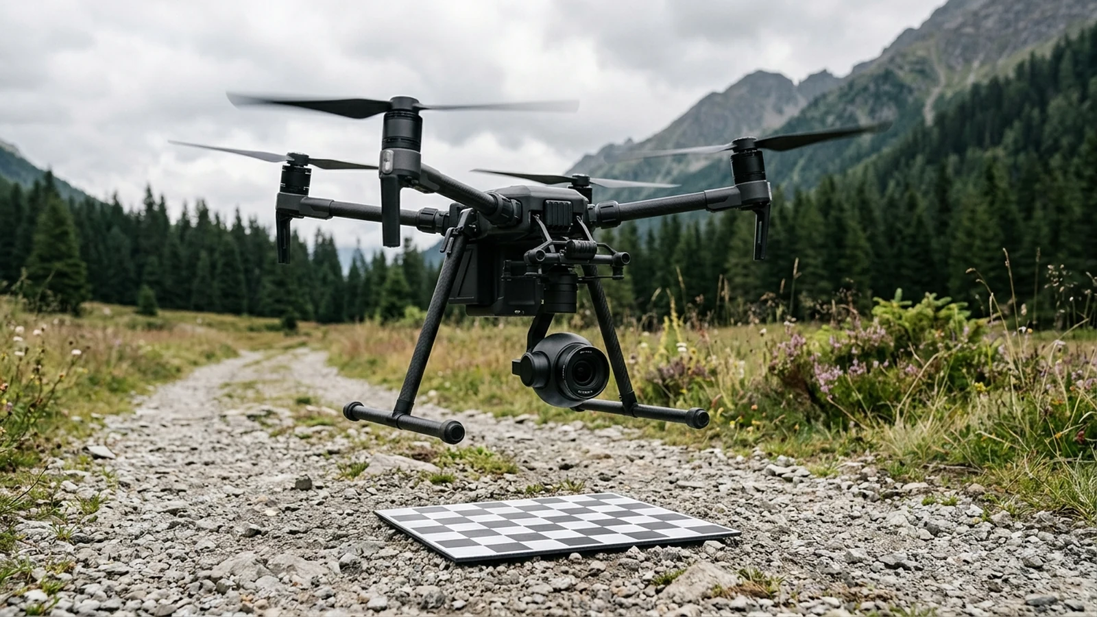
Ground sample distance is the ground spacing between adjacent pixel centers. Height and pixel pitch raise it. Focal length lowers it. Blur can hide a target.
Ground sample distance is the ground spacing between adjacent pixel centers. Height and pixel pitch raise it. Focal length lowers it. Blur can hide a target.
The full list of dispatches is on All Publications & Dispatches.
Engineering evidence for a Part 107.31 BVLOS drone waiver in the FAA Aviation Safety Hub: 2 sm Visual Observer handoffs, DAA, RTH clearance, and FCC C2 links.
How drone payload capacity cuts flight time under the M^(3/2) hover power law, Peukert battery loss, heavy lift SAR drone curves, the 55 lb Part 107 cliff, and altitude payload derating.
How thermal drone search and rescue works: LWIR emissivity, Mylar space blanket reflection, diurnal thermal crossover, Johnson GSD criteria, FLIR SAR settings, and White Hot vs Ironbow SAR palettes.
A second radio inside 2400–2483.5 MHz fails with the first. Part 88 keeps 5040–5050 MHz for control only. A 5800 MHz backup adds 7.66 dB of free-space loss.
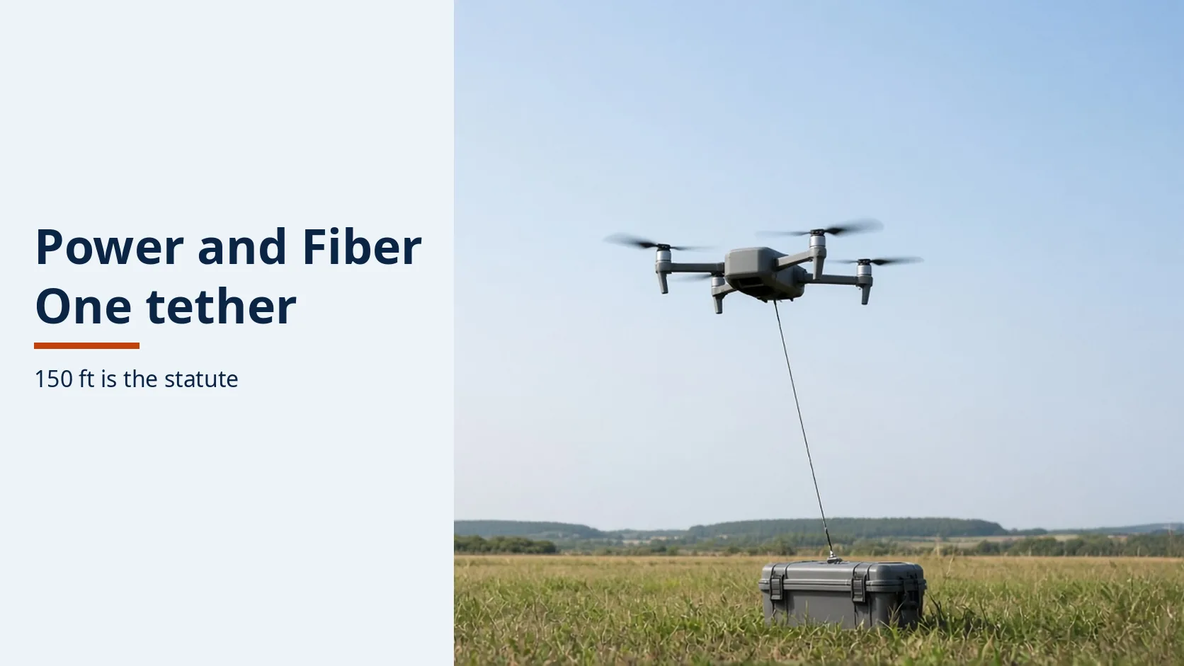
A dark fiber is not a power failure. Match the sheet's watts and altitude to the 150-foot public-safety line before either number is reused.
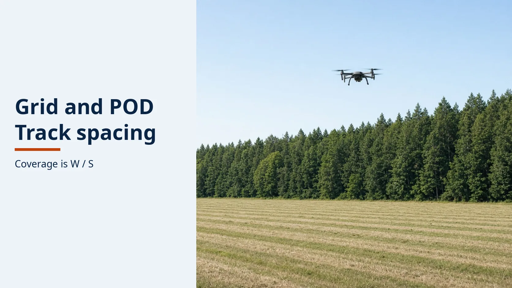
A grid the aircraft does not fly is a gap. IAMSAR sets coverage as sweep width over track spacing, and the pattern has to match how well the datum is known.
Explore the competition prize rounds held between 2021 and 2022 by NIST and Kansas State University, detailing public safety search & rescue flight challenges, sensor payloads, and counter-UAS evaluation standards.
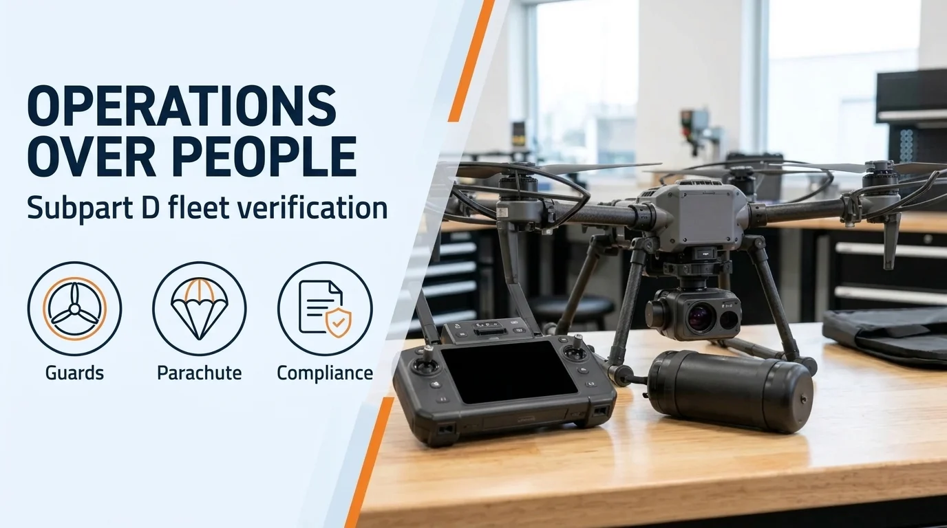
FAA Part 107 Subpart D guide to drone operations over people: Category 1–4 weight and kinetic energy limits, rotor guards, DOC checks, and moving vehicles.
Audit public agency drone cybersecurity across ground control station access, offline firmware signature verification, and flight telemetry log retention.
Choose an approval path for your drone mission: compare operational waivers, emergency requests, airspace coordination, and public-safety frameworks.